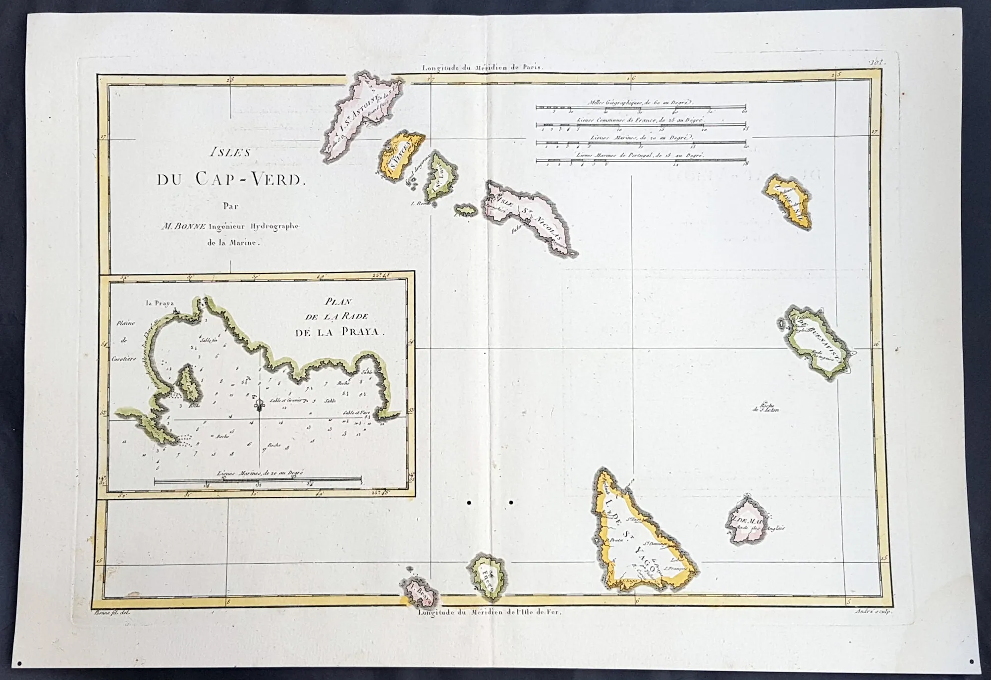
- Title : Isles Du Cap-Verd; Plan de la Rade de la Praya...Par M Bonne
- Ref : 40546
- Size: 16in x 11in (405mm x 280mm)
- Date : 1780
Description:
This fine original copper plate engraved antique map of the Cape Verde Islands, West Africa with an inset map of the harbour & city of Praia, by Rigobert Bonne was published in the 1780 edition of Atlas des toutes les parties connues du globe terrestre by Guillaume Raynal.
General Definitions:
Paper thickness and quality: - Heavy and stable
Paper color : - off white
Age of map color: - Early
Colors used: - Yellow, pink, green, blue
General color appearance: - Authentic
Paper size: - 16in x 11in (405mm x 280mm)
Plate size: - 14 1/2in x 10 1/2in (370mm x 265mm)
Margins: - Min 1/2in (12mm)
Imperfections:
Margins: - None
Plate area: - None
Verso: - None
Background:
Cape Verde officially the Republic of Cabo Verde, is an island country spanning an archipelago of 10 volcanic islands in the central Atlantic Ocean. It forms part of the Macaronesia ecoregion, along with the Azores, Canary Islands, Madeira, and the Savage Isles.
The Cape Verde archipelago was uninhabited until the 15th century, when Portuguese explorers discovered and colonized the islands, establishing the first European settlement in the tropics. Ideally located for the Atlantic slave trade, the islands grew prosperous throughout the 16th and 17th centuries, attracting merchants, privateers, and pirates. The end of slavery in the 19th century led to economic decline and emigration. Cape Verde gradually recovered as an important commercial center and stopover for shipping routes. Incorporated as an overseas department of Portugal in 1951, the islands continued to campaign for independence, which was peacefully achieved in 1975.
Praia is the capital and largest city of Cape Verde, an island nation in the Atlantic Ocean west of Senegal. It lies on the southern coast of Santiago island in the Sotavento Islands group.


